The land
A landscape at scale.
Large landholdings offer something smaller parcels cannot: the ability to consider landscape, access, privacy, conservation and future development as one integrated whole.
Across substantial parts of this approximately 64-hectare property — some 640,000 m² in Cañas, Tonosí, Los Santos — the landscape opens toward Isla Cañas and the Pacific Ocean, creating an important relationship between terrain, elevation and outlook.
Overview
- Scale
- ≈ 64 hectares
- Approximately 640,000 m²
- Location
- Cañas, Tonosí
- Los Santos, Panama
- Outlook
- Isla Cañas & the Pacific Ocean
- Across substantial portions of the property, including elevated areas.
- Offering
- Offered as one landholding
Survey, terrain and legal material currently in preparation is listed, with its status, on the technical page.
Aerial overview
Professional drone photography and video are being produced. The slots below indicate the imagery that will be published.
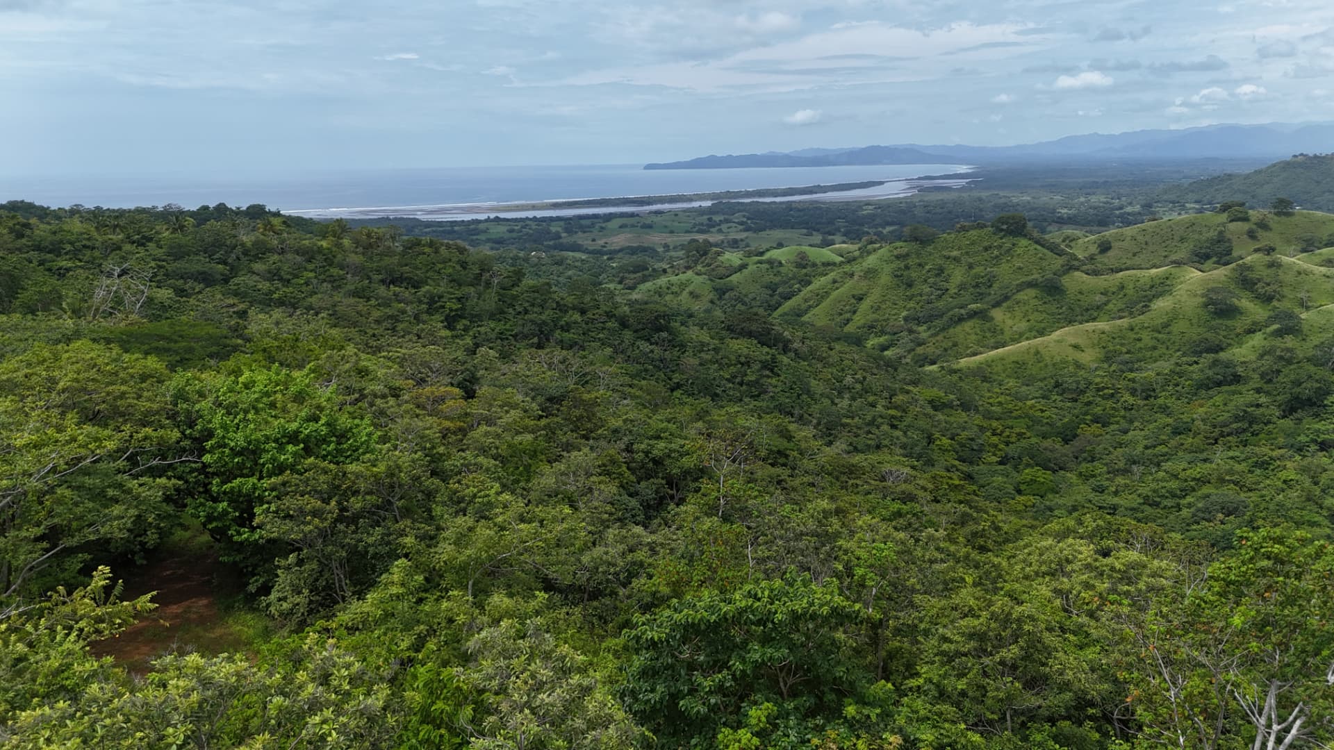
The outlook
Isla Cañas & the Pacific
One of the defining characteristics of the property is its visual relationship with Isla Cañas and the Pacific Ocean. Elevated areas across substantial portions of the land provide outward views across the surrounding landscape toward the coast and island.
The property is not offered as oceanfront land. Outlooks are described qualitatively and will be mapped once terrain analysis is complete.
Boundaries and mapping
Historic survey documentation exists. A current boundary verification is part of the survey work now under way, and the verified boundary will be published here once registered.
Property Explorer
Interactive property mapping will be added from the completed survey, aerial and GIS material.
Terrain
Understand the land before imagining what comes next.
Professional LiDAR and topographic work has been commissioned to create a detailed understanding of the property's terrain.
This technical material will help prospective buyers understand elevation, slopes, access and the relationship between different areas of the property and their outlook toward Isla Cañas and the Pacific Ocean.
[3D TERRAIN MODEL]
LiDAR visualization to be added once the commissioned survey outputs are complete.
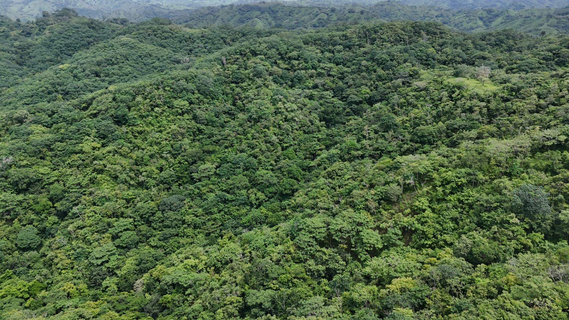
Natural landscape
Photography of the land itself is being produced. No stock imagery is used in place of the property.
Aerial
Isla Cañas & Pacific
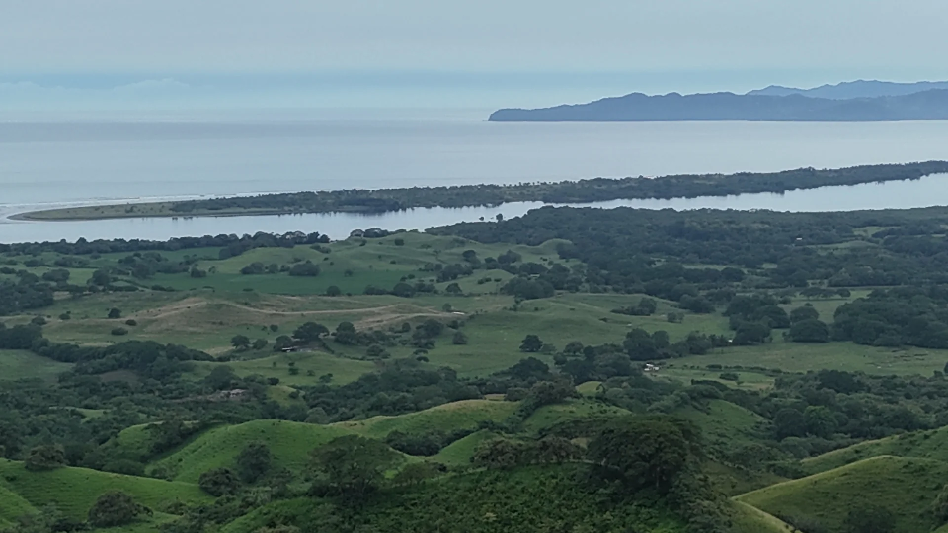
Landscape
Terrain
Access
Detail
Regional context
Access
- Road access
- Information pending
- Internal tracks
- Information pending
- Frontage
- Information pending
Technical highlights
Historic Survey Documentation
AvailableLiDAR Survey
In preparationTopographic Survey
In preparationAdditional Technical Material
On request